Malin Head and Londonderry.

Wednesday 12th June 2024.

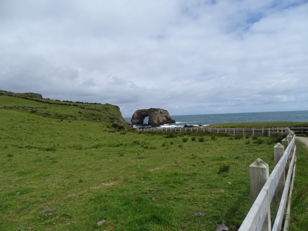
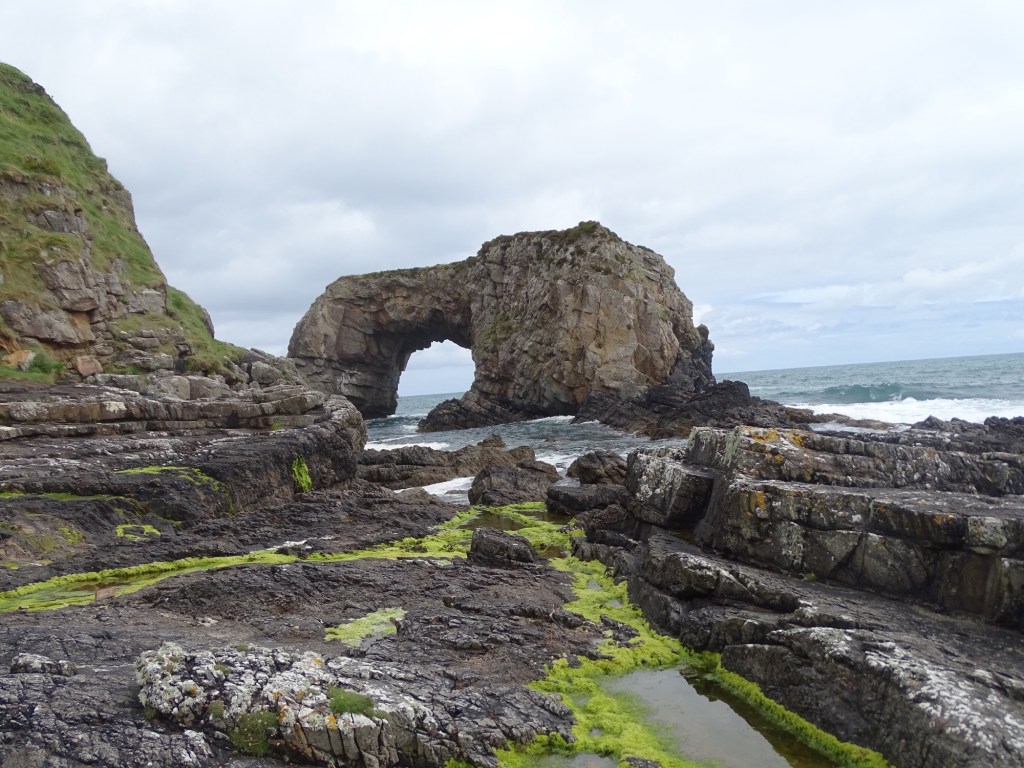
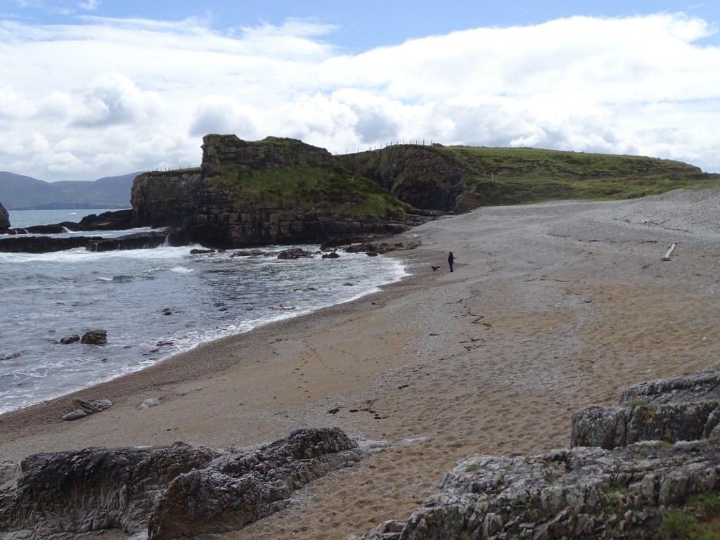
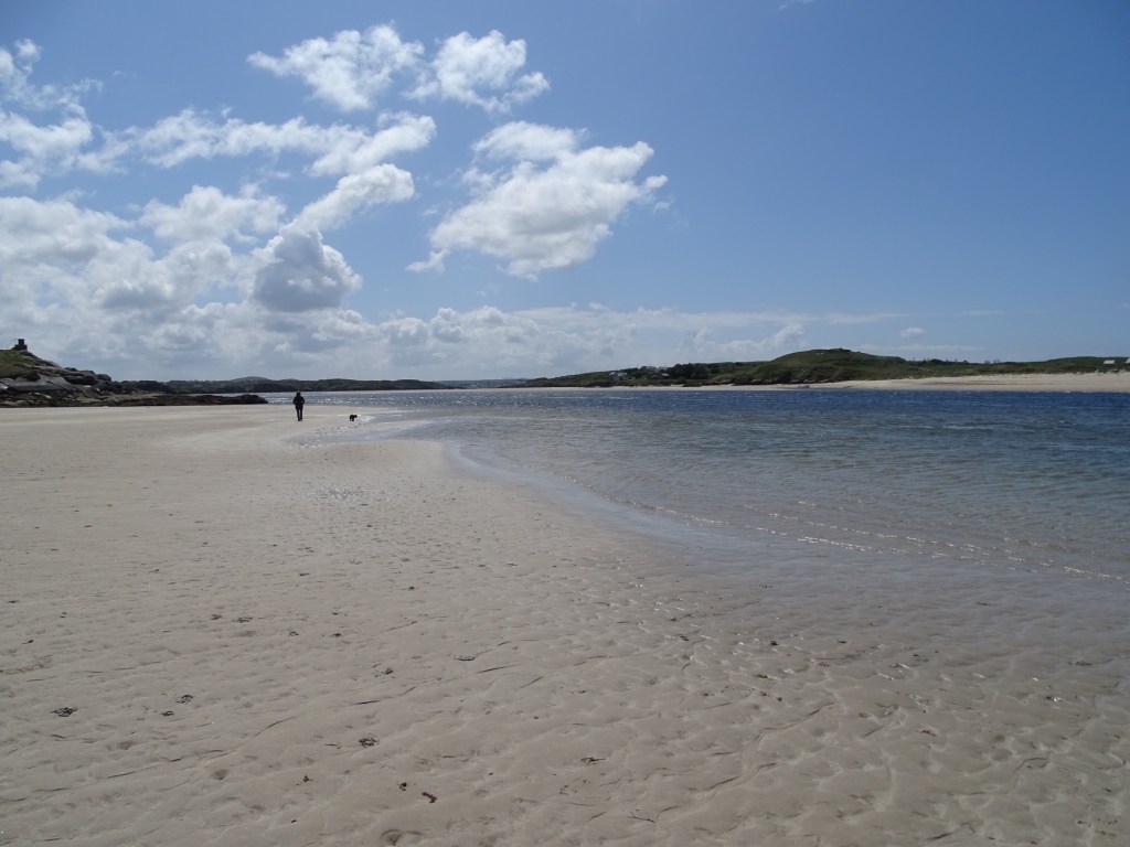
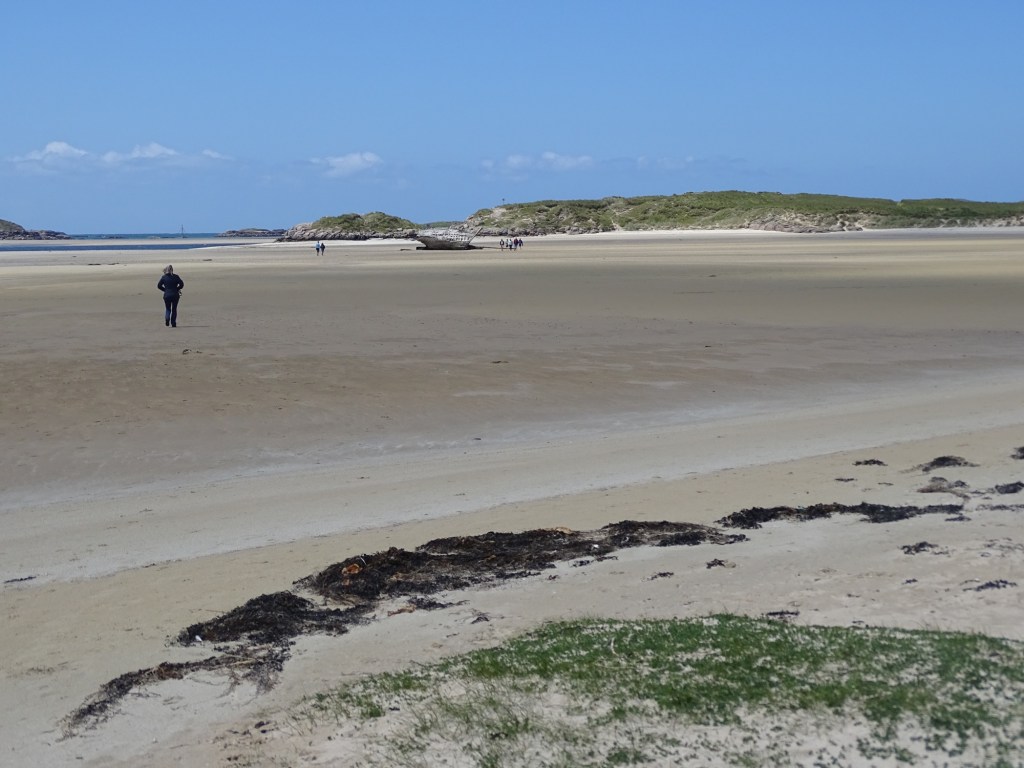
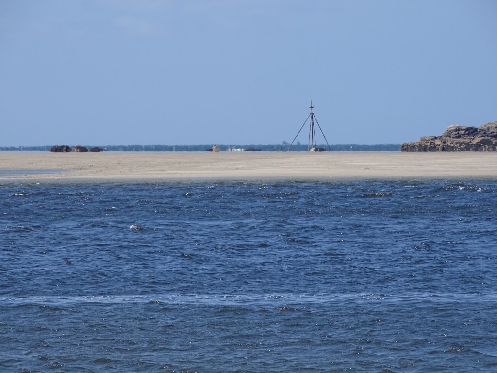
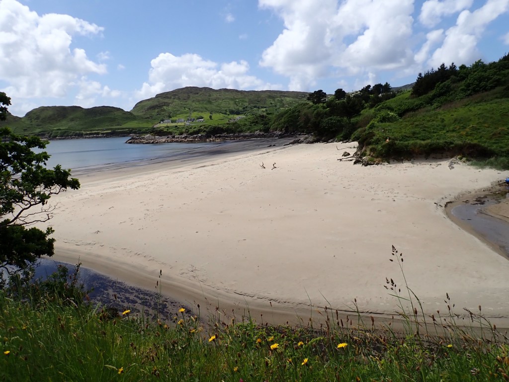
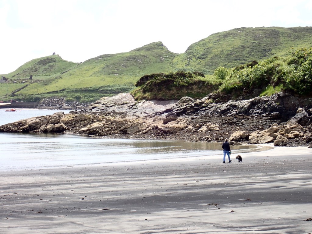
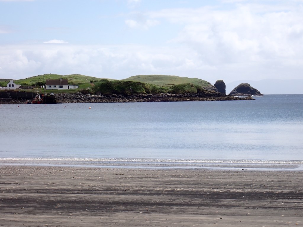
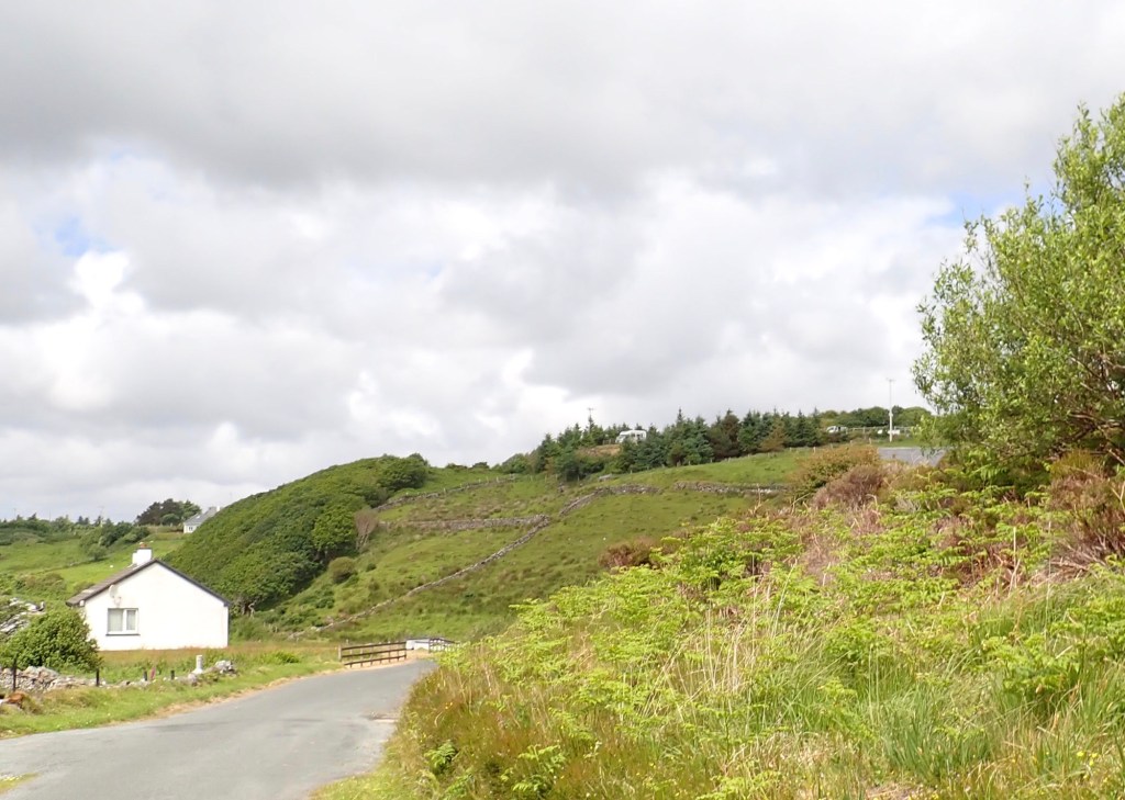
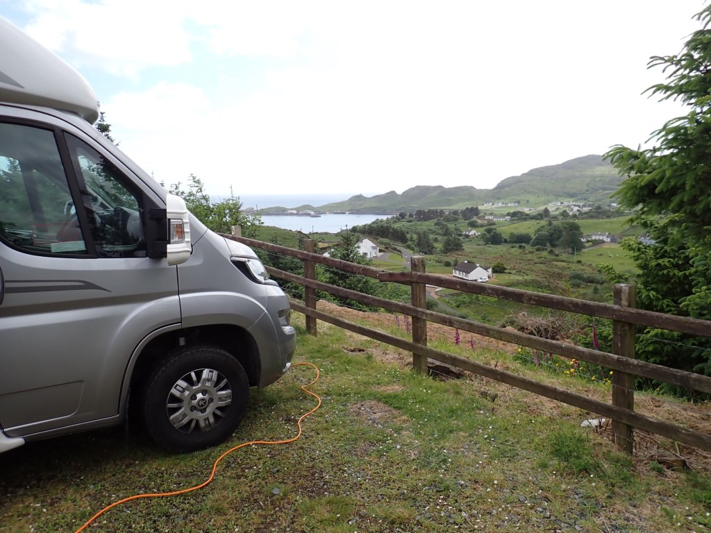
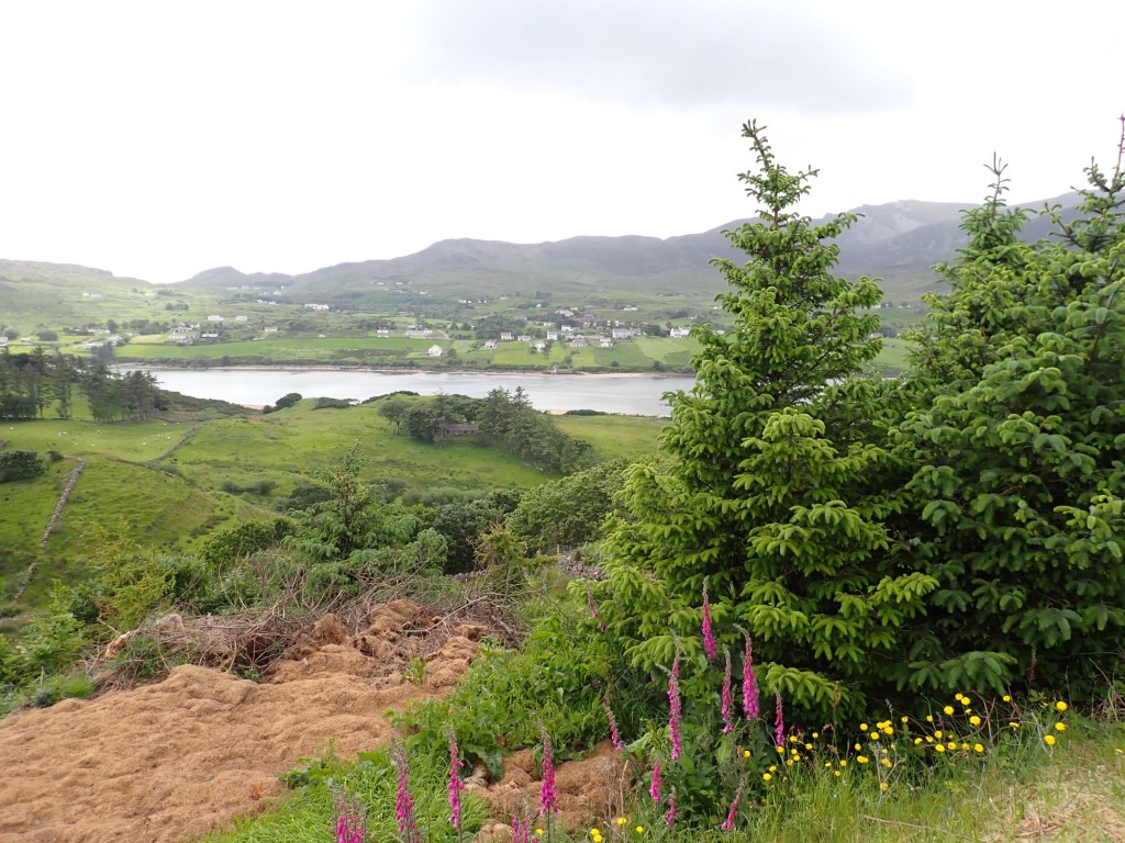
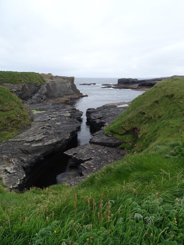
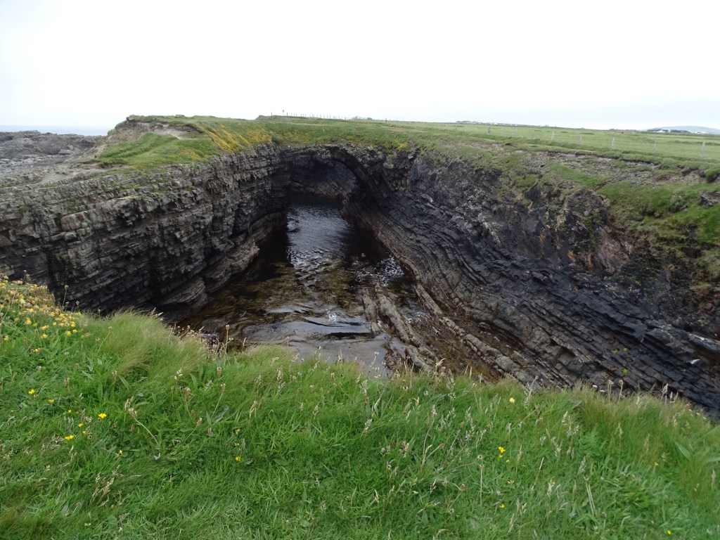
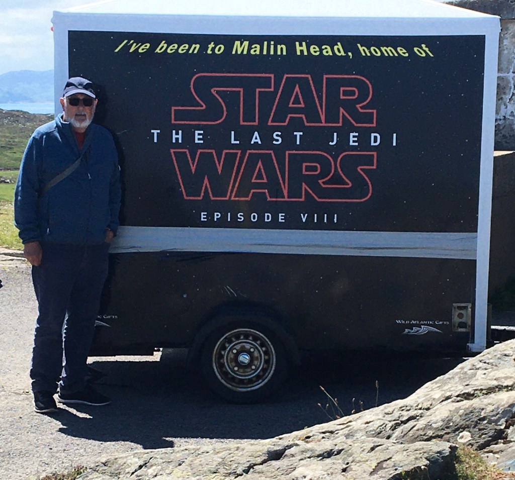
Today we headed for Malin Head the most northerly point of Ireland en route we passed Five Finger Strand known for its long pristine sandy beach and also Lagg Sand Dunes which at 30m high are the highest in Ireland. Malin Head is reached by a long single track road and as I reached the end I was in an area where there was a snack van and a souvenir van and parking for three cars and nowhere to turn around. I had to reverse about 50 m down the steep twisty road until I could park on a rocky patch of land.

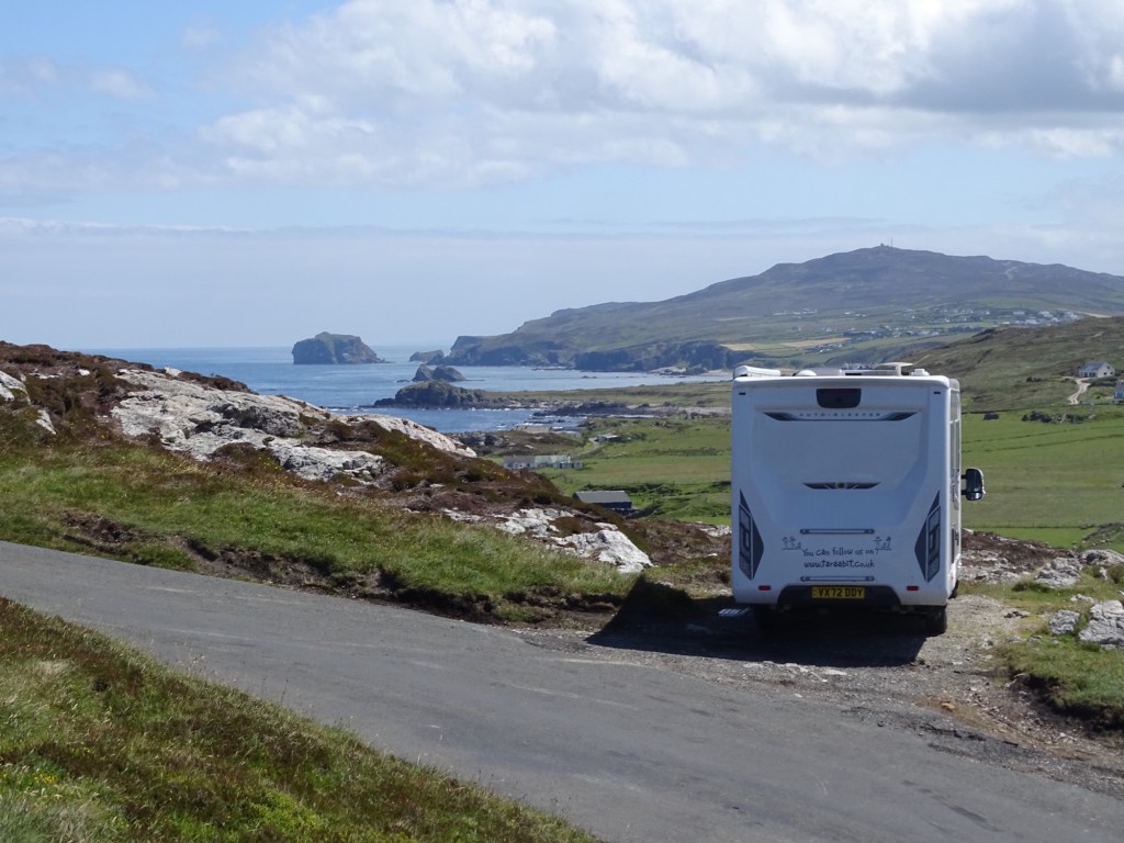
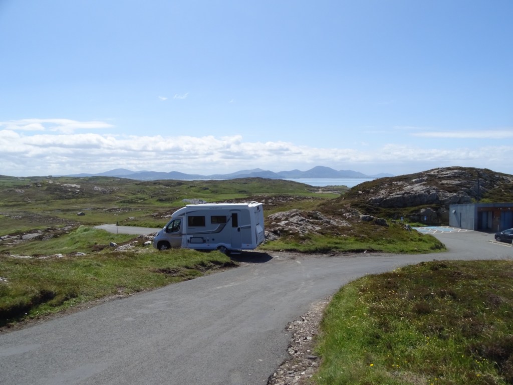
It made an excellent spot for a lunch break, the views were magnificent, I decided to worry how to turn around later.

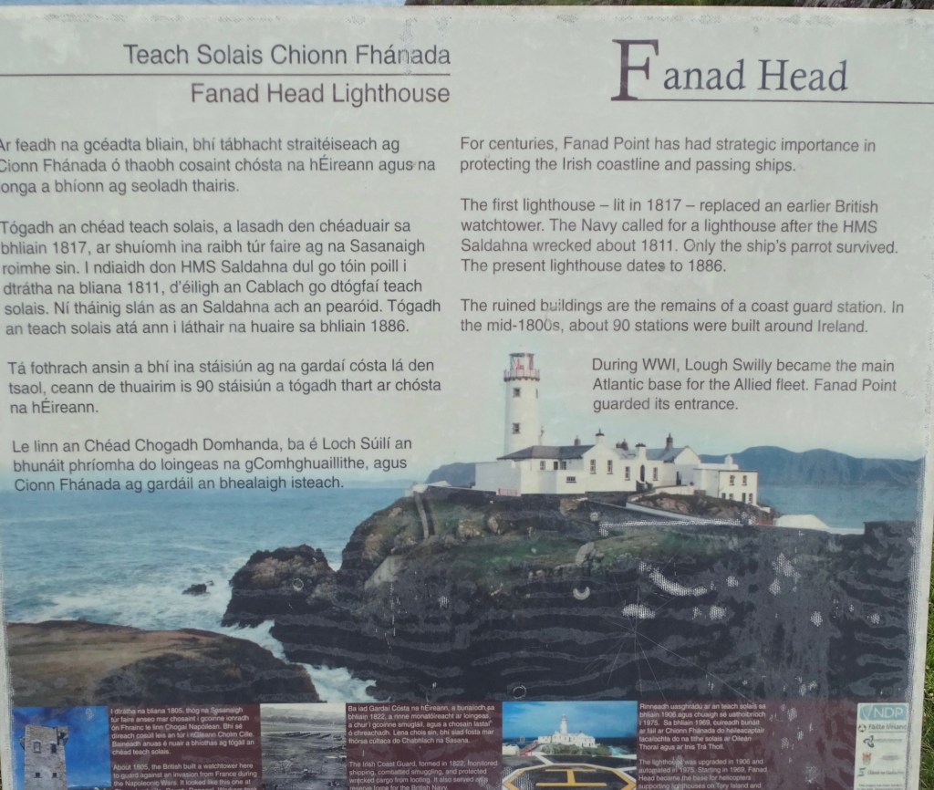
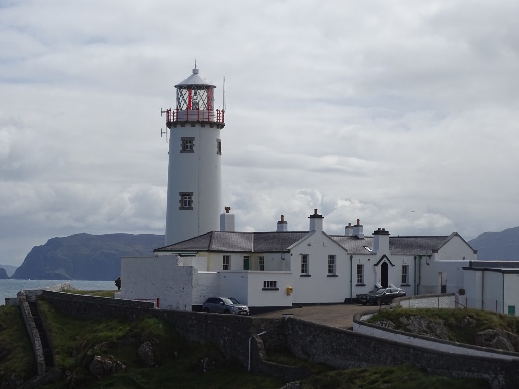
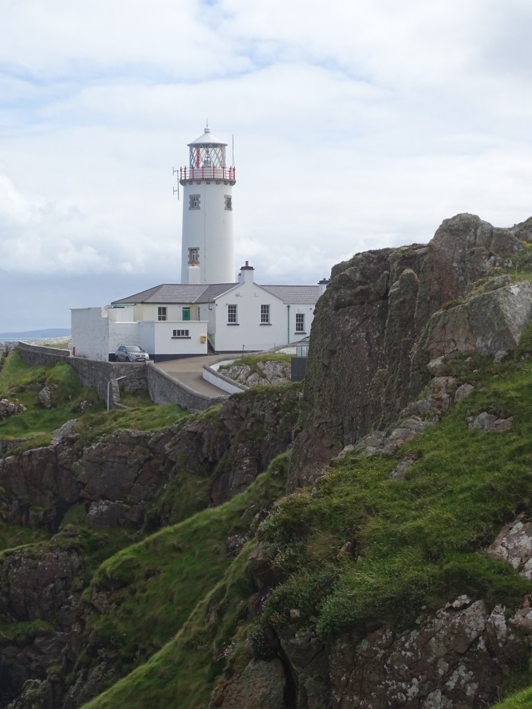
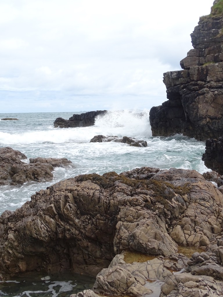
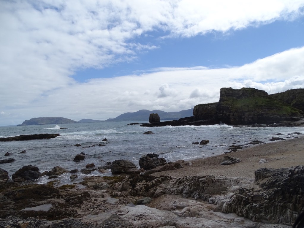
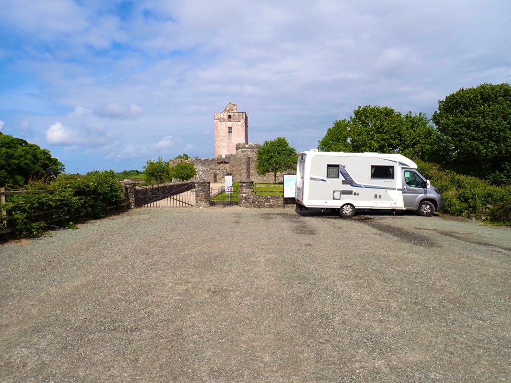
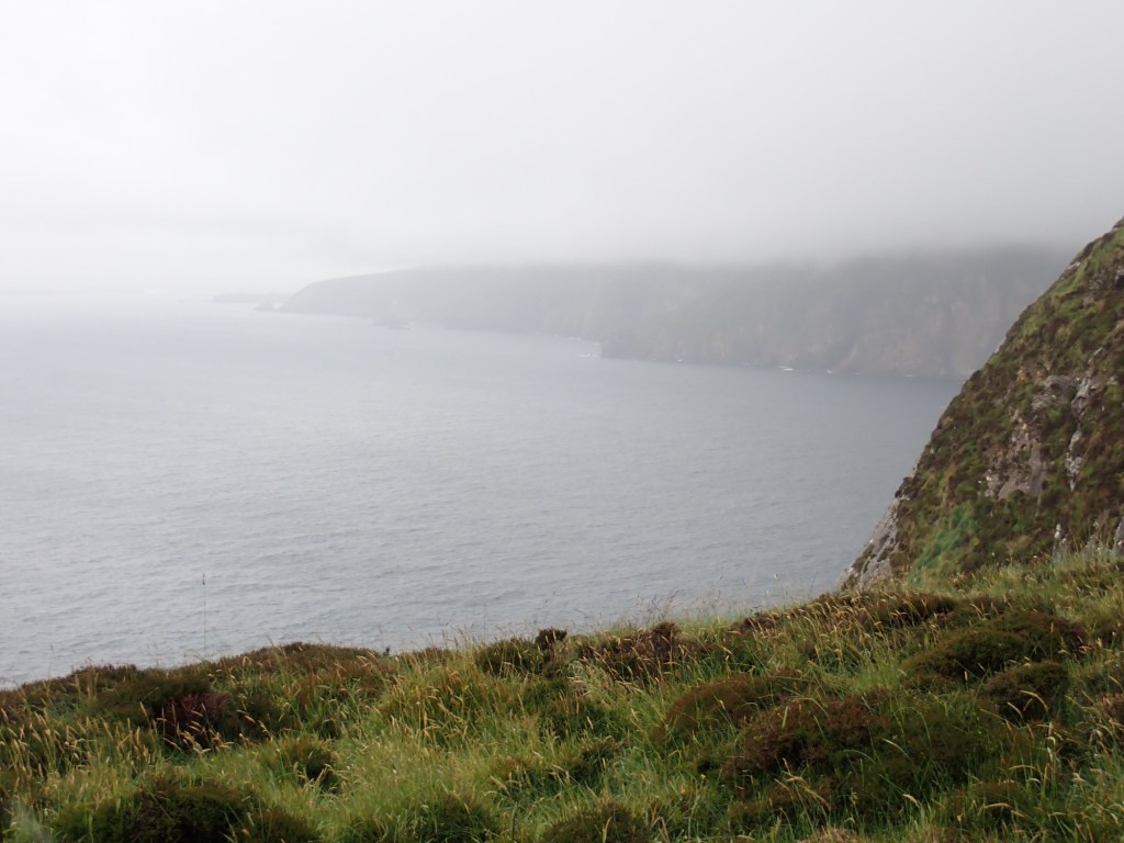
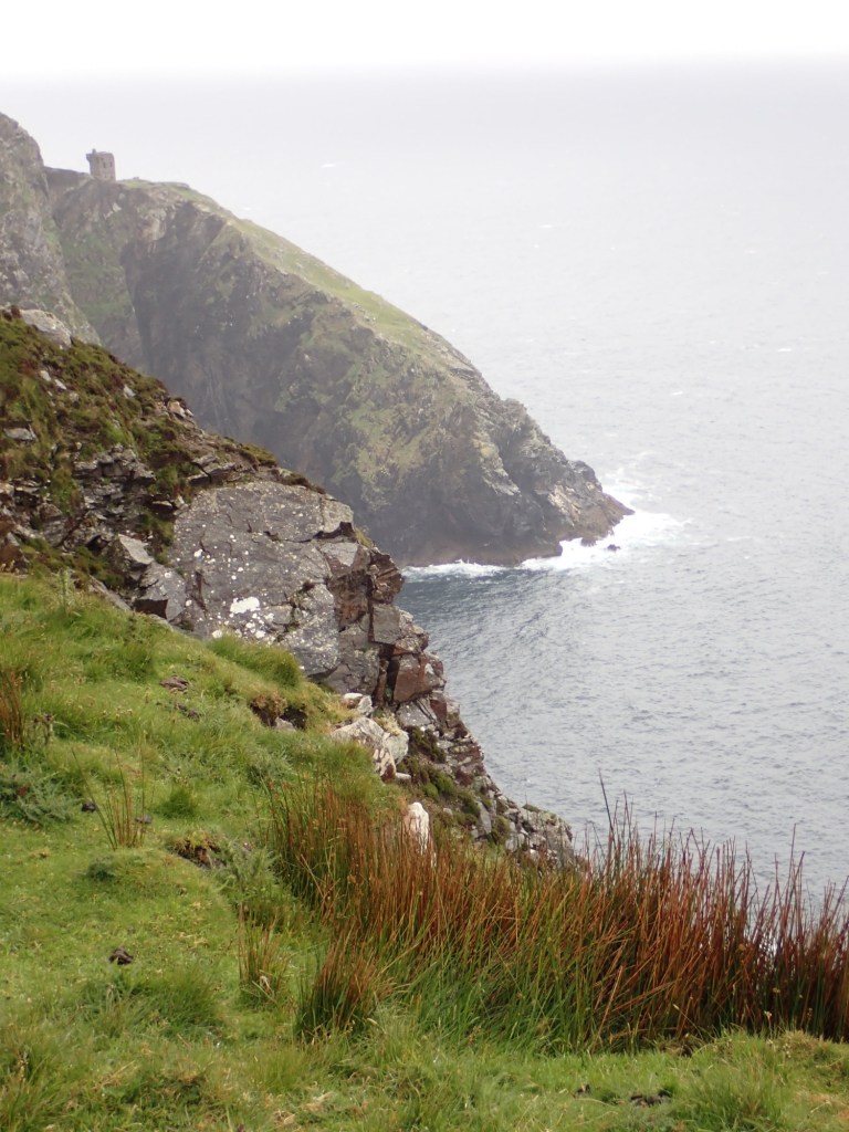
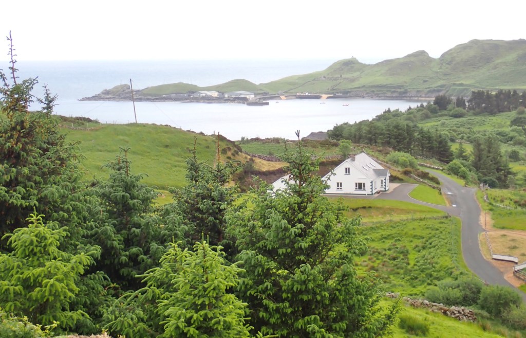
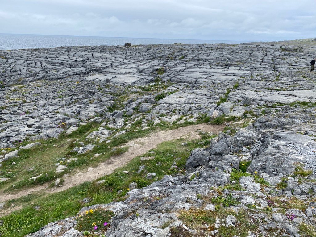
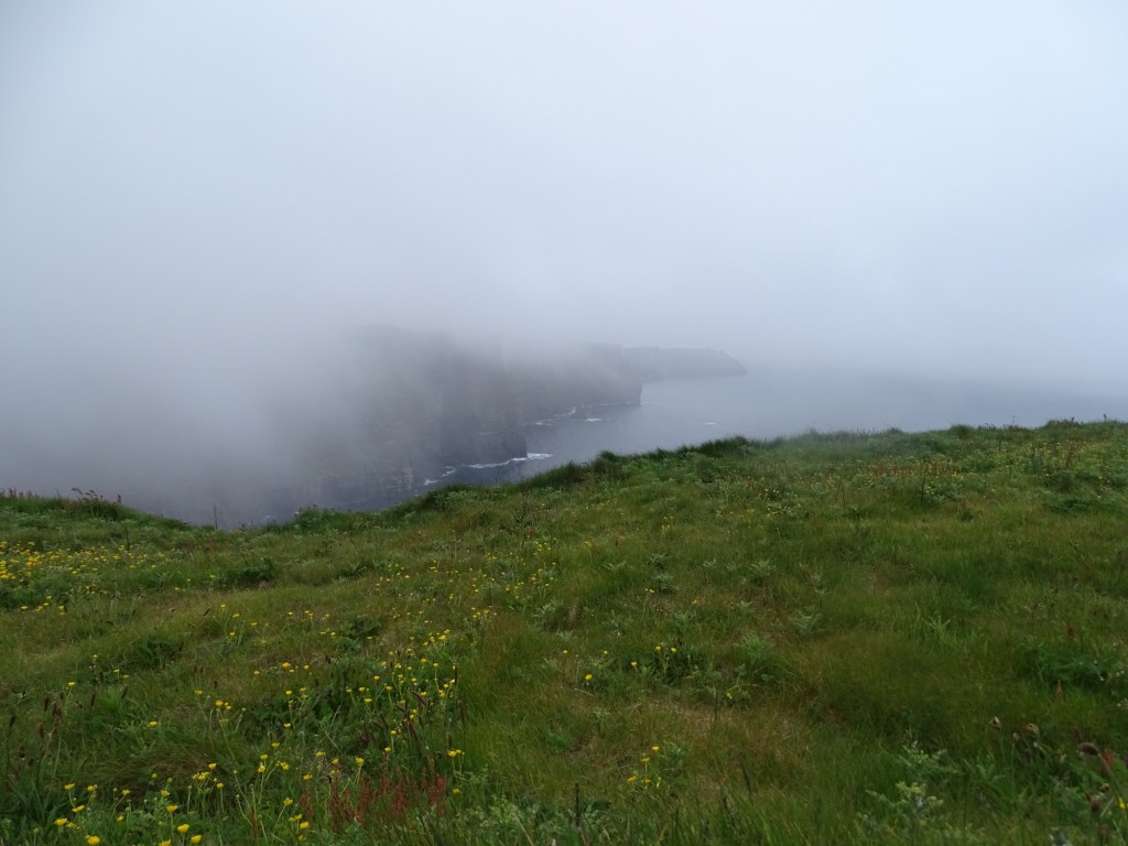
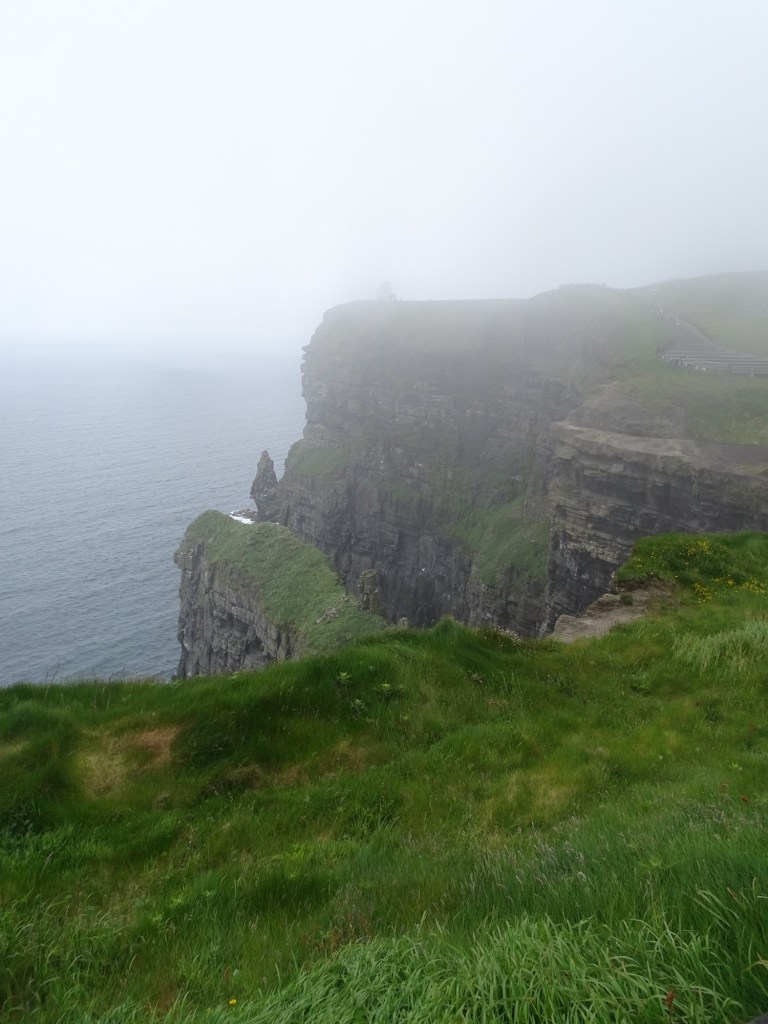
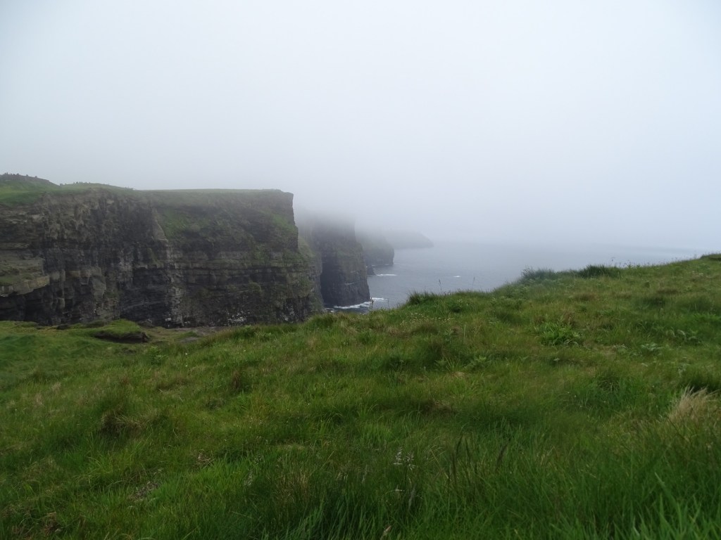
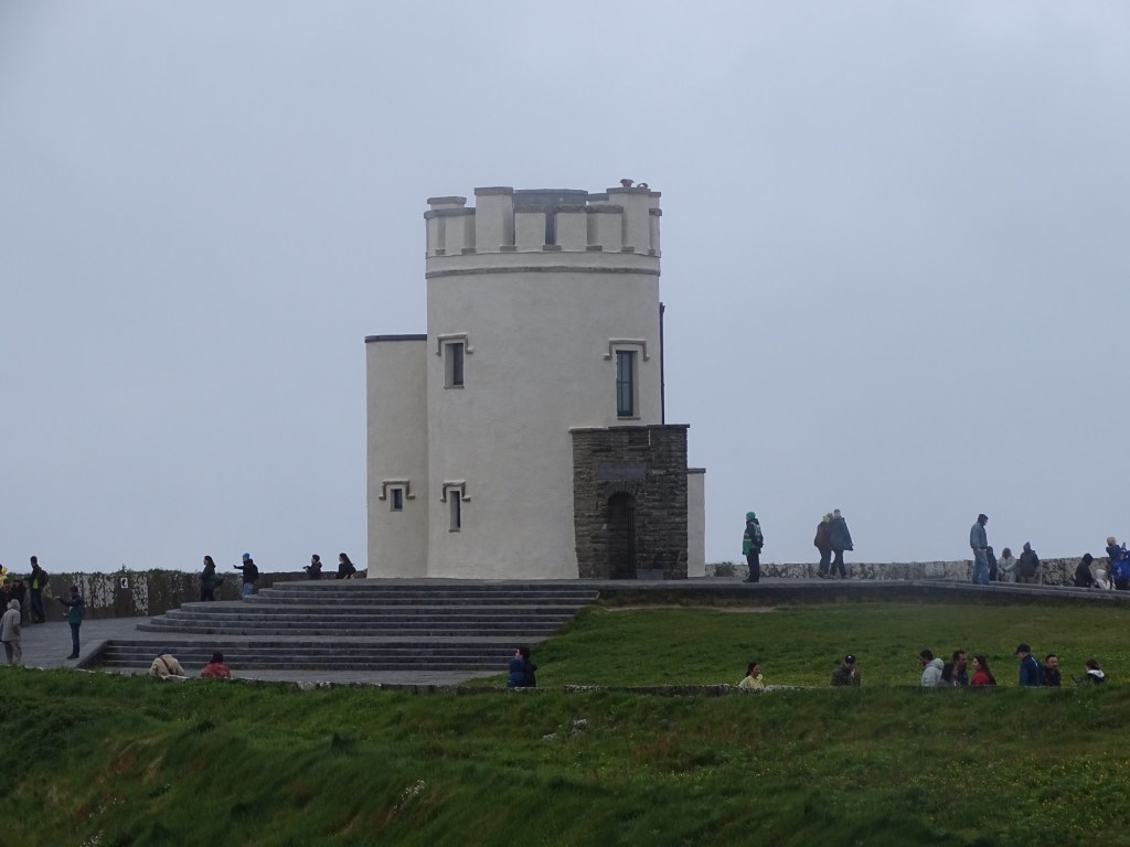
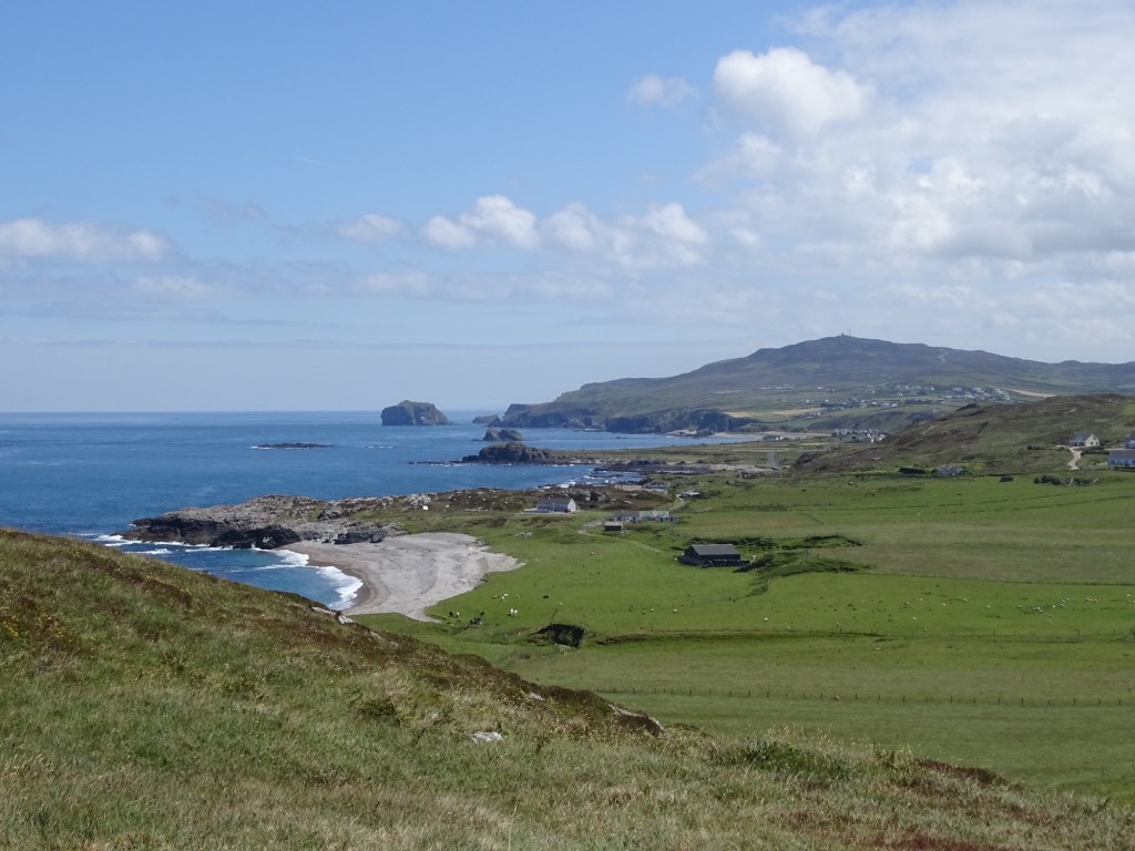
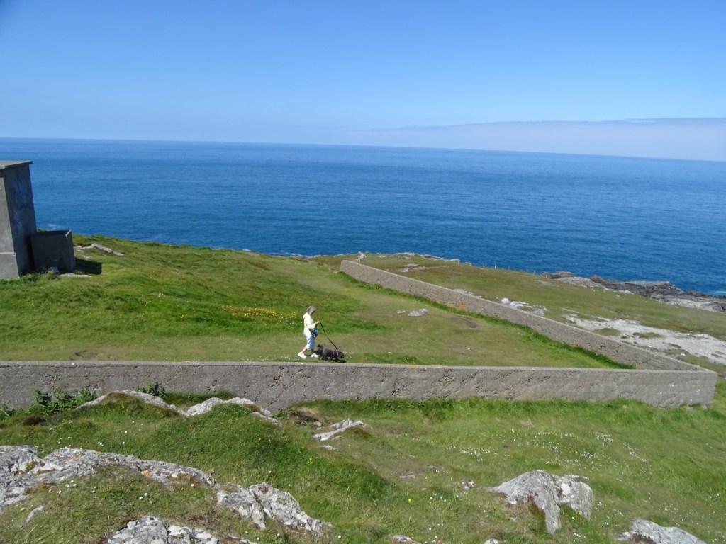
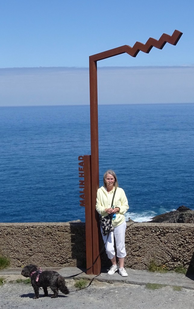
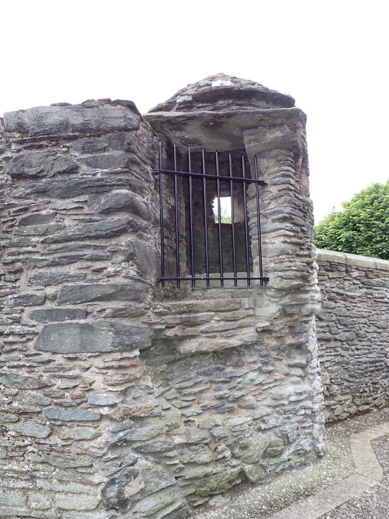
Malin Head is the most northerly point of Ireland and it is 16 days since we were at the southern most point of Ireland. At the cliff top is a tall tower which was constructed by the Admiralty in 1805 and was later used as a signal station linking Ireland to America.

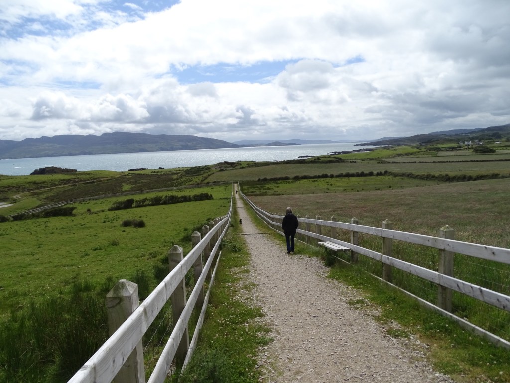
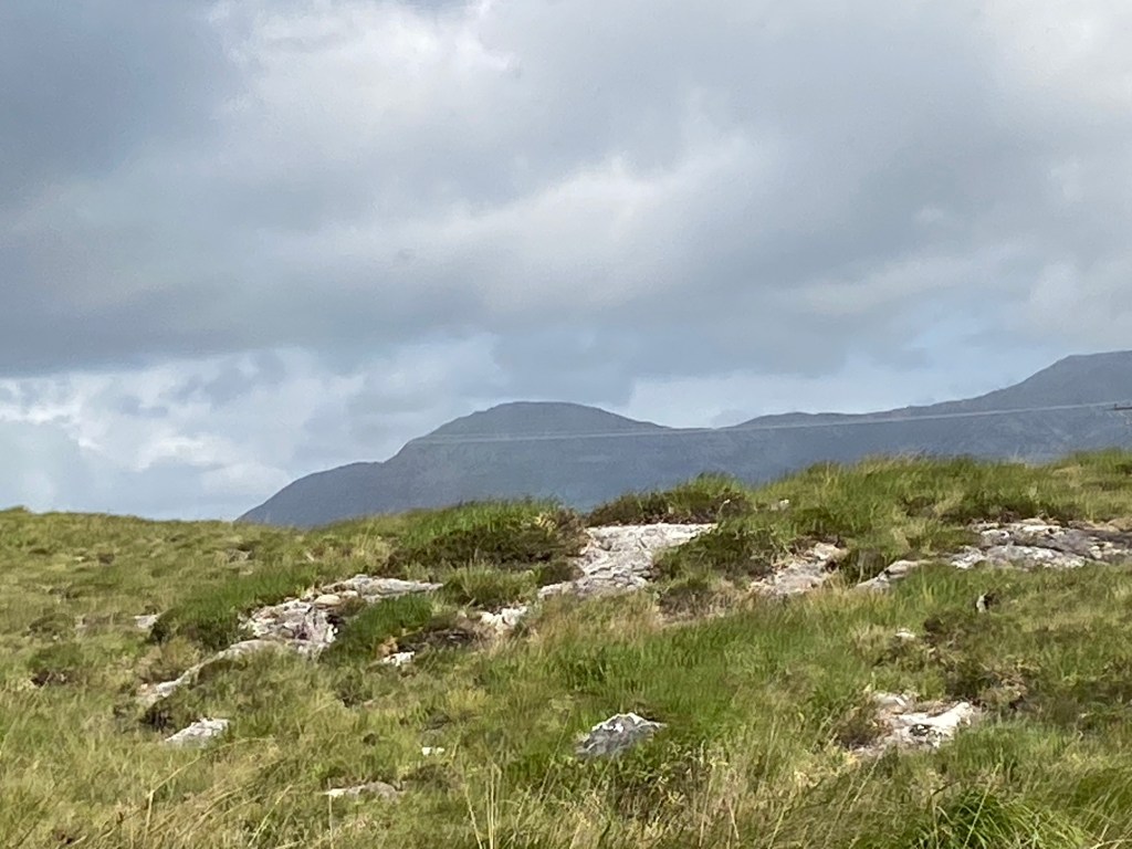
The scenery was quite stunning and photos don’t do it justice.

I’m told it would excite certain people but I’ve never seen the film.😊

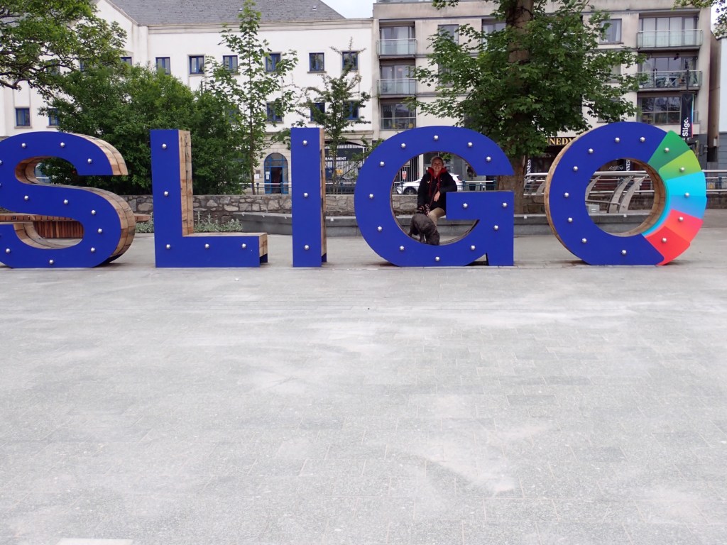
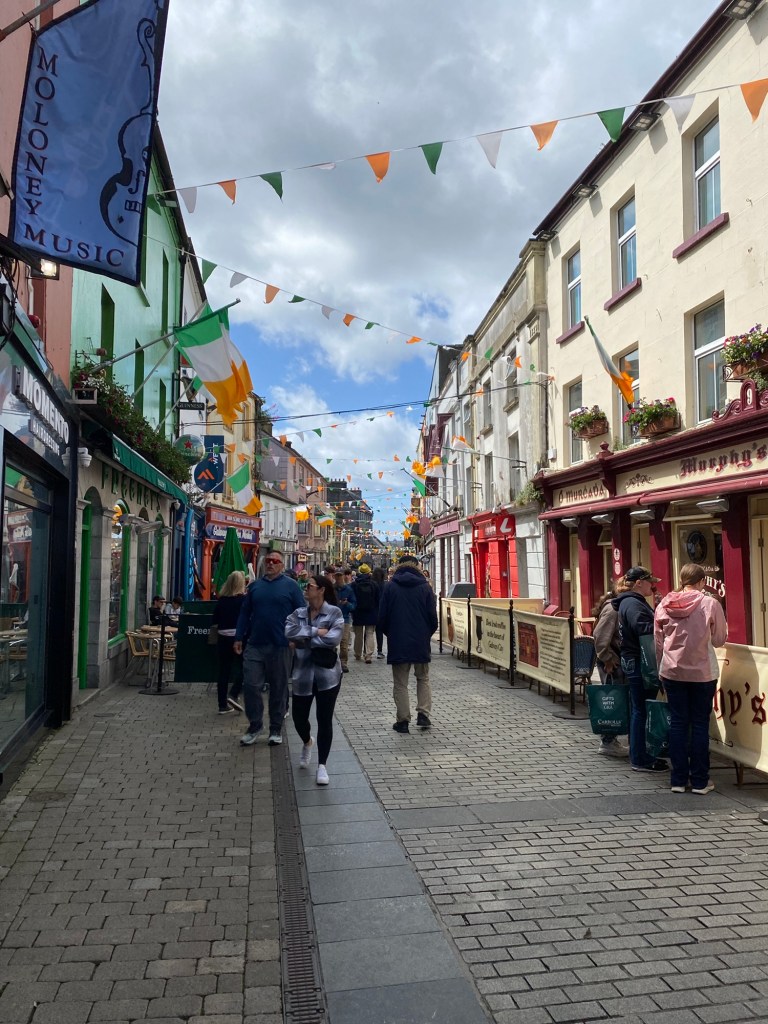
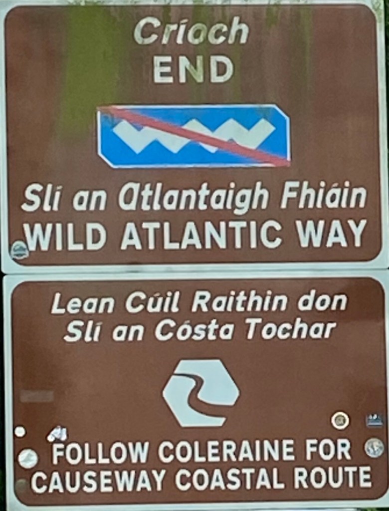
Tonight as a text message from EE phone company tells me we are back in the UK as near a town called Muff we drove out of the Republic of Ireland, Muff is the official end to the Wild Atlantic Way we have been following for 3 weeks.

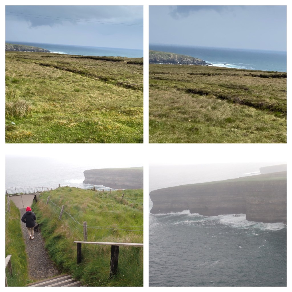
There have been sections we have had to miss out as it would have taken us too long to see it all and some places on the route were not suitable for access in a motorhome, however we have driven 1,090 miles of the Wild Atlantic Way.

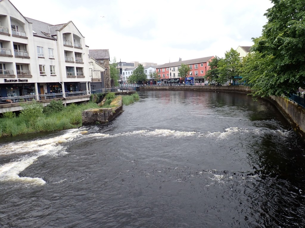
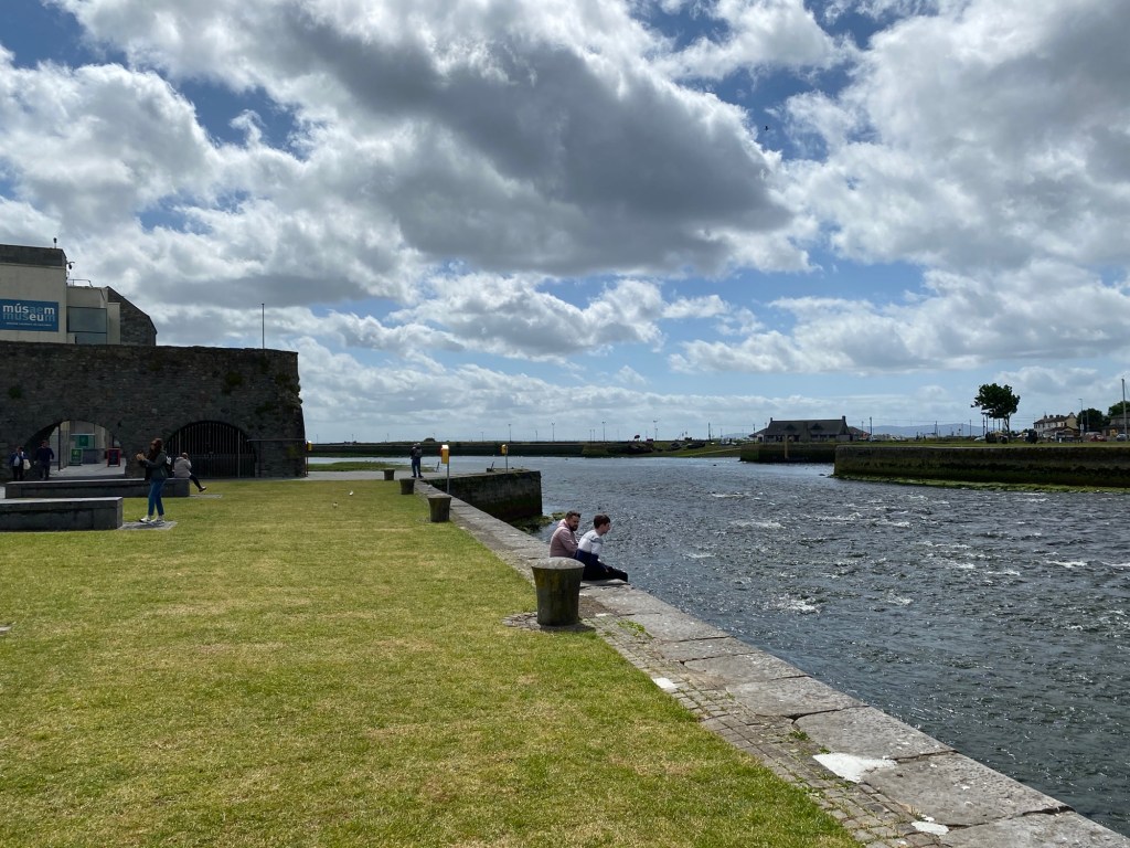
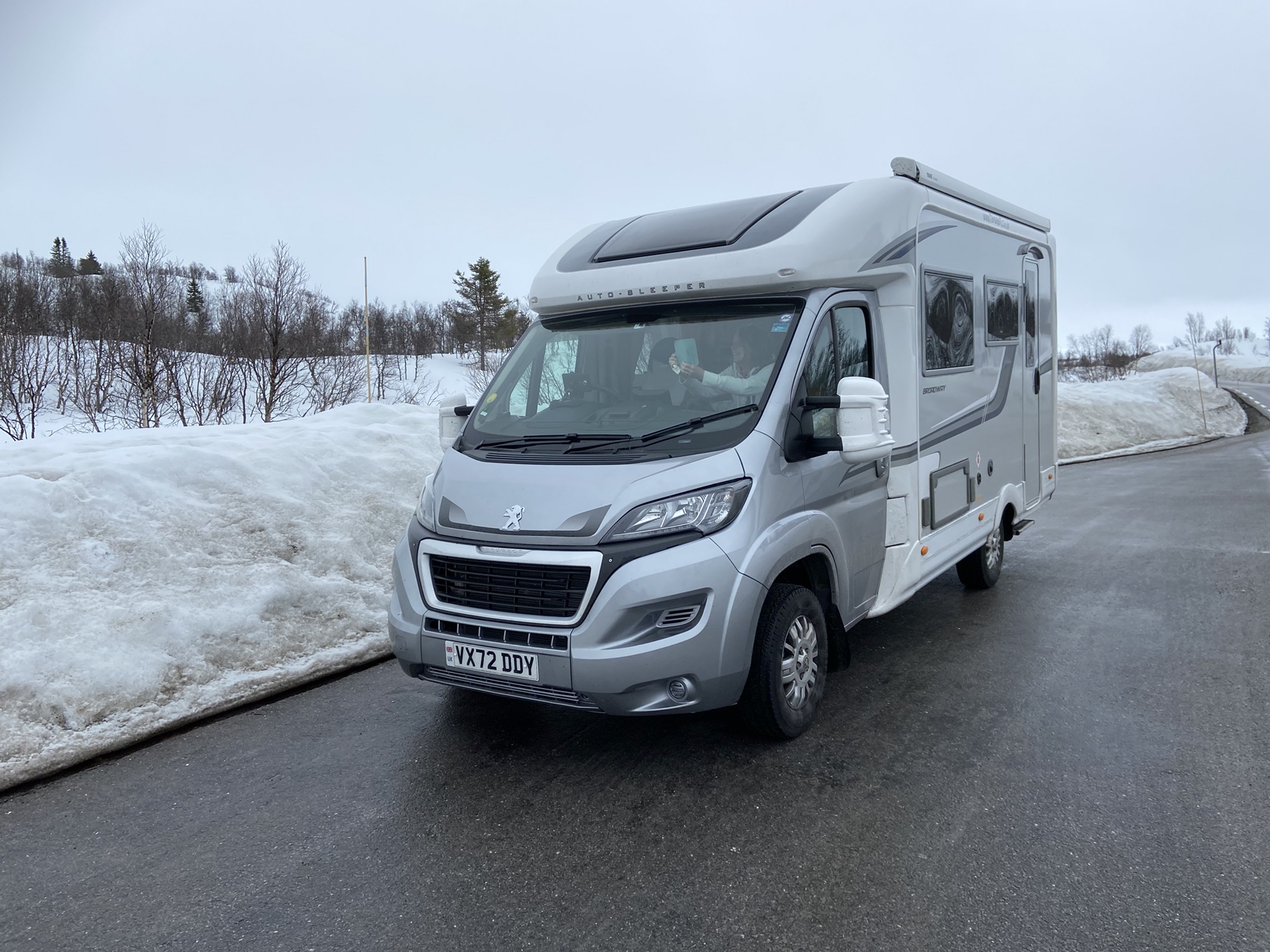
We are staying tonight in an area for motorhomes at Foyle Valley Railway Museum on the banks of the River Foyle at Derry.

An Irish Coffee a treat for Michelle at the end of our walk around Derry.

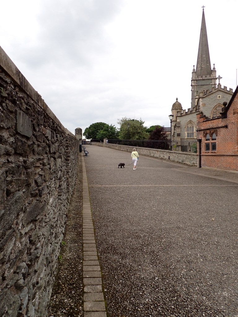
Derry or officially Londonderry is the largest city in the county and the second largest in Northern Ireland. The old walled city lies on the West bank of the River Foyle. It is one of the oldest continuously inhabited places in Ireland dating back to the 6th century when a monastery was founded by St Columbo or Colmcille.

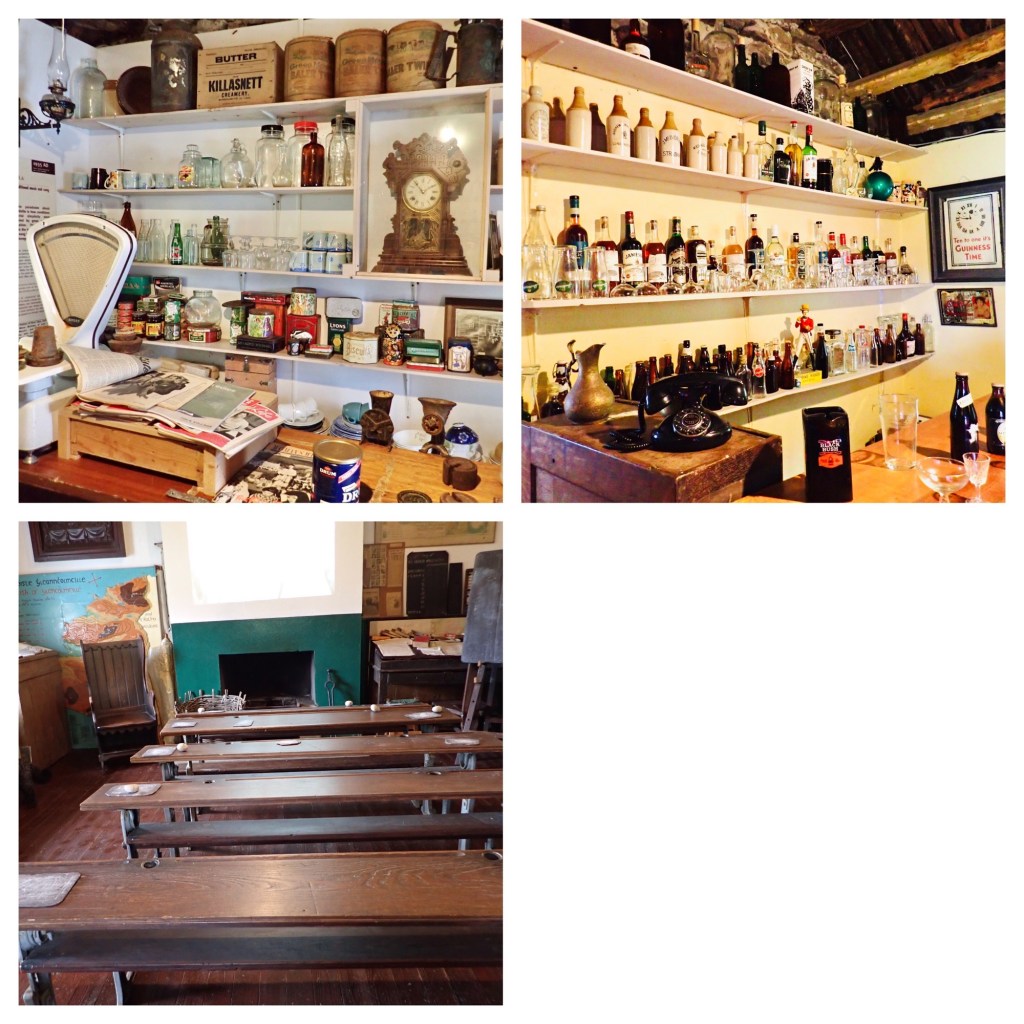
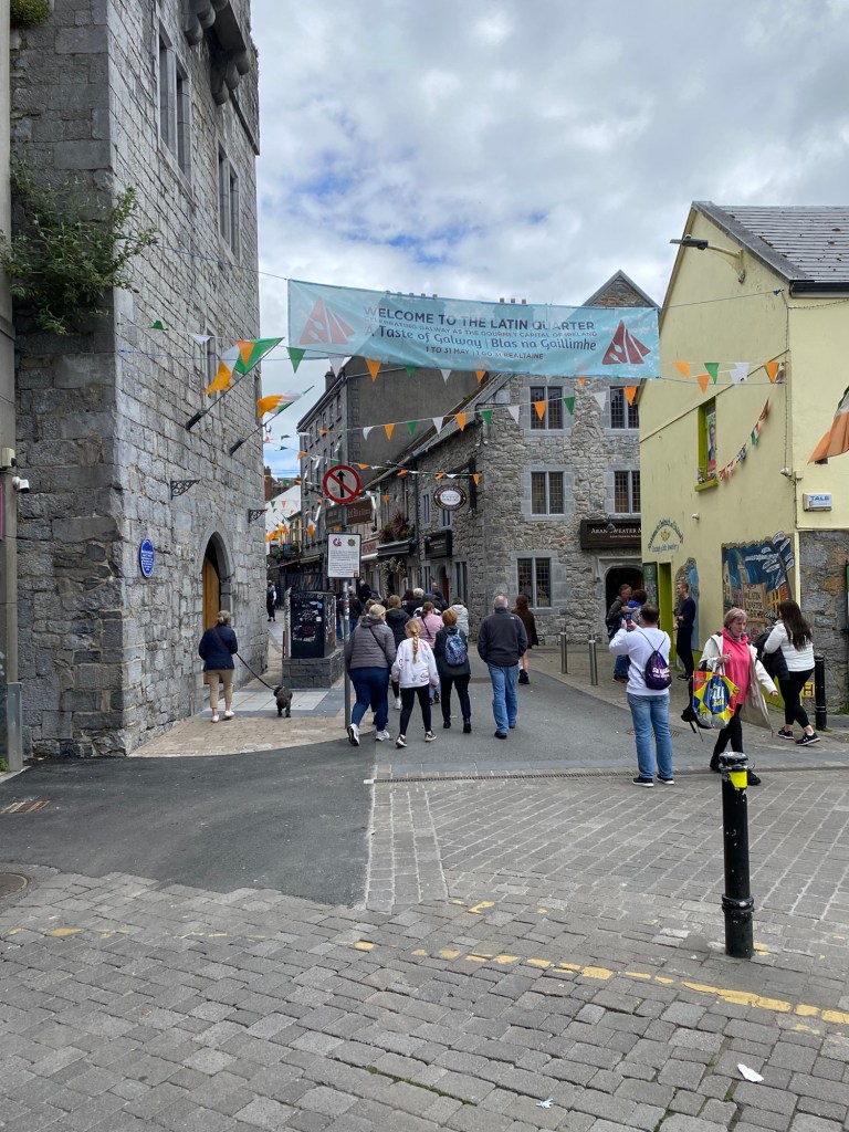
The current city was was the first planned city in Ireland with a set design, its construction began in 1613 and it is built within 8m high walls that still ring the city today and are a mile in length. We enjoyed a stroll around the complete circuit and there are lots of information boards that explain everything.

Not all the city is old.

Tomorrow we head along the coast of Northern Ireland.

Letterkenny- Fenad Head-Great Pollet Sea Arch

Tuesday 11th June 2024

Fanad Head is home to a lighthouse which was constructed after a Royal Navy Warship the HMS Saldanha sank in 1811 with all its crew in Lough Swilly which actually isn’t a Lough but a glacial fjord. The lighthouse was designed by George Halpin one of the most influential engineers in Irish history. He was appointed Inspector of Lighthouses and was responsible for the construction of over 50 lighthouses.

There is a good parking area a short distance from the lighthouse where you can purchase for 12 euros tickets to visit the lighthouse, to reach the top of the lighthouse you have to climb 76 steps. We would have been happy to just walk around the exterior of the buildings but it was still 12 euros each.

A short drive from there took us to todays wonderful experience, The Great Pollet Sea Arch.

Until recently there was a rough car park on a farmers land about half a mile from the beach and arch, however now there is a brand new car park further away and it’s now nearer a mile to the beach and a new footpath has been constructed through the farmers fields.

At the end of the footpath over the style is a shingle beach and the arch, to get the photo below I had to scramble over rocks and avoid rock pools being greatly in danger of getting my feet wet as motorhome buddy Peter often does.

The Atlantic waves.

Again today we saw some wonderful scenery as the minor roads we were on hugged the coast at times and rolled through farmland away from the coast. We drove past Port Salon a long sandy beach which in one poll in the Guardian newspaper was voted the second best in the world! You could stop every few miles and take photo after photo the scenery is so good.

Tonight we are stopping on a motorhome aire with services next to a sports ground on the outskirts of Letterkenny which is a large town which we felt no urge to explore.

Doe Castle via Ardara and Bunbeg Beach.

Monday 10th June 2024.

Our first planned stop this morning was a distillery in Ardara a pleasant small town with lots of pubs and tweed shops. The road to the distillery from town was closed due to road works so we had to park in the town car park and walk approx half a mile there.

We were amused to find out from the chap who served us that the distillery was owned and run by his family making gin and whiskey but they were English from the south of England. We of course purchased a bottle of whiskey which we will savour at some point.

Bunbeg Beach.

One of the places we were determined to visit on this trip was Bunbeg Beach which is a vast expanse of sand surrounded by coves, rock pools and streams. One of the biggest draw is Bad Eddie Shipwreck, a fishing boat bought by a local fisherman Eddie Gillespie who had it towed ashore in 1977 to repair it. The repairs never took place and the boat has been disintegrating more and more since.

The water was a gorgeous shade of blue.

We are stopping tonight as guests of the owners of Doe Castle, well in their car park free of charge😊

Doe Castle to use its anglicised version of its name stands on the shore of Sheephaven Bay, the tower is believed to have been built in the 1420’s and the rest in the 1620’s. It was a stronghold of the MacSweeney Clan for almost 200 years but has passed through different ownership on several occasions since them.

It’s free to enter and wander around but there is no access to the walls or the tower unless it is part of an organised tour.

The entrance gates are closed and locked late afternoon and we sought permission from the caretaker to stay the night. We were the only vehicle there but at about 6 pm the car park which is at the end of a very narrow lane suddenly became rammed with cars, one of which had loud speakers on its roof. The caretaker explained to Michelle that the winning candidate for MP in the elections that finished yesterday traditionally went from Doe Castle to be sworn in as the successful candidate. He and his supporters eventually left in a long cavalcade of cars.

Portacowley Beach, Sliab Liag Visitors Centre, Slieve League Cliffs,Glencolmcille Folk Museum.

Saturday 8th and Sunday 9th June 2024.

Saturday morning was spent on domestic duties but after lunch we went for a walk down a steep lane to the beach that we could see in the distance below us.

Portacowley Beach.

It was totally deserted and as the tide was out we could enjoy a pleasant time in the sunshine playing with Layla on the beach and then sitting soaking up the sun.

It was sea weed in the water not an alligator.
Next landfall America.

The walk back up made the heart and lungs work hard but I made it😊

Homer is centre picture in the trees.

SUNDAY.

What a difference a day make, the wind blew hard all night and it rained heavily and that has continued all day today. We couldn’t stay in the van all day as we would have gone stir crazy so we decided to be tourists, being Sunday there wasn’t anything open other than tourist spots.

Our first stop was Sliab Liag Visitors Centre which was a modern building housing displays of the geology and history of the region, plus it had a good cafe and toilets. From the centre you can pay to catch a shuttle bus to take you up to the top of Slieve League Cliffs. These cliffs rise almost 2,000 ft from the Atlantic Ocean, Slieve League is one of the highest cliffs in Europe. They are almost three times higher than the Cliffs of Moher we visited last week. However similar to last week when we emerged from the shuttle bus the rain was lashing down and the clouds were very low.

You could see less than half of their full height.

We walked away from the highest cliffs and I managed to take a photo of a lesser cliff which is still quite dramatic.

When we boarded the bus upon its return we were well and truly wet!

We drove on further down the peninsula and visited Glencolmcille Folk Museum.

This was founded in 1967 by Father James McDyer, it was built by local volunteers and the artefacts were donated by by local people, each of the six cottages depicts the 17th,18th and 19th centuries .

Different fireplaces over time, the earliest bottom right didn’t have a chimney the smoke went out of a hole in the wall. Top right showed how it was used for cooking etc, and too left the fisherman’s socks drying.
As time went on the number of possessions meant more storage was required.
Initially bedrooms were curtained off areas in the main rooms, in the 19th century proper beds arrived.
Top left the shop and top right the pub were in the same room. The school room with hard benches and desks with ink wells. In the winter the children were expected to bring a piece of peat each day to put on the fire.
The thatched roofs are lashed down to pegs driven into the walls, I’m not surprised with the strength of the wind here.

Father James Mc Dyer not only instigated the Folk Museum but when he arrived in Glencolmcille in 1951 he found a region that was suffering from a lack of employment and as a consequence emigration was taking place. Determined to help he campaigned persistently for basic utility services, he was successful and consequently electricity was brought to the area. An International Student Work Camp was later established and during the 1960’s the students worked to install piped water to the village. He managed to encourage factories to be built in the area and marketed the area as a tourist destination.

Looking down on Glencolmcille and it’s adjacent beach.

The rain hadn’t eased and as the other attractions were outdoors we headed back to the campsite for the rest of the day.

Donegal – Kilcar

Friday June 7th 2024

Everything in the shop had Donegal on it

First stop was Donegal which is a town at the mouth of the River Eske in North West Ireland. It has a castle built in the 15th century with later Jacobean extensions.

It is a pleasant small town with a nice vibe with a variety of small shops , as we walked along we came across St Patrick’s Church a large modern building which was being prepared for a wedding, later as we drove past a coach and many cars were unloading guests.

The journey from Donegal to tonight’s camp site took us along roads that gradually got narrower and narrower, the site is high above the coast near the end of a peninsula projecting into the Atlantic Ocean.

Below are views from where Homer is parked.

Atlantic Ocean in the distance.
A long sea estuary.
The beach is just beyond the white house.

We have driven quite a few miles over the past five days so we are staying here for a few nights for a rest from packing up and moving on each day.

Sligo and Lough Gill

Thursday 6th June 2024

It was a rough, wet and windy start to the day, we drove along a road that hugged the coast with some spectacular scenery, every time we stopped to take a photo we were nearly blown away and got quite wet.

Michelle sheltering in Sligo😊

It was quite a long drive to Sligo but the scenery both along the coast and inland was very enjoyable to drive through. We parked quite close to the town centre in a 3 euro all day car park and after lunch wandered into town.

Garavogue River runs through the centre of town.

The Garavogue River or Garvoge River also known as Sligo river is only 3.2 km long flowing from Lough Gill into Sligo Bay.

SLIGO ABBEY.

Sligo Abbey was a Dominican friary founded in the mid 13th century by Maurice Fitzgerald. The site contains a great wealth of carvings including Gothic and Renaissance tomb sculpture, well preserved cloisters and the only 15th century high altar to survive in any Irish monastic church.

We spent an enjoyable period of time wandering around the Abbey it’s amazing considering the ills that befell it that so much survives, even when not in use it was used to bury the dead from a Cholera Plague with Sligo being badly affected.

The cathedral is surrounded by buildings and it was difficult to take a photo showing its architectural splendour. Michelle ventured inside but couldn’t take photos as although there wasn’t a service people were quietly praying.

Another photo for my illustrated book of cathedrals Layla and I have sat outside.

For a change tonight we aren’t smelling the sea air, we have driven 6 miles inland and are parked next to Lough Gill, a fresh water lake that feeds the river I mentioned above.

Belmullet- County Mayo

Wednesday 5th June 2024.

We are spending tonight at the quay in Belmullet with views of fishing boats. It’s quite a small town on the NW of Ireland.

When we set off this morning we headed for the nearby town of Cliffden, it looked a very nice place as we drove around several times trying to park, sadly we couldn’t find a space suitable for Homer so we had to drive on. The scenery is changing all the time, today less lakes, flatter, lots of peat bogs and always with the mountains in the distance.

Michelle’s photo of a rainbow.

Driving along we came across Kylemore Abbey and Victorian walled gardens, we drove down the drive and we’re waved into the coach parking area. Five coaches were disgorging their eager passengers who swarmed up the drive to purchase tickets and take advantage of guided tours. As it would cost 34 euros admission fee, dogs not allowed inside anywhere and even if we left Layla in the van we would be at the back of “ the league of nations that had descended” so we satisfied ourselves with just taking some photos from a distance.

Kylemore Abbey is a Benedictine monastery set in 1,000 acres of mountainside, it was founded in 1920 in the grounds of Kylemore Castle. It was founded for Benedictine nuns who fled Belgium in WW1, it continues today providing education and retreat activities.

Kylemore Castle was built in 1867 with 33 bedrooms, 4 bathrooms, 4 sitting rooms, a ballroom, billiard room, library, study,smoking room and gun room, plus accommodation for the domestic staff, and took 4 years to build.

Our next port of call was Westport where after a tour of carparks we found one that accepts motorhomes staying over night, however there was only one dedicated space, I tried to get in car spaces with no luck until someone drove off from a corner space and we squeezed in.

Westport.
Sadly we missed it.

It took a further 90 minutes drive to tonight’s stop, a total of 109 miles today that’s the furthest we have driven in one day since we arrived, we have planned next week to be a series of short hops.

Galway- Cashel an Caiseal

Tuesday 4th June 2024.

The day started off grey, wet and windy but at least we had a quiet night no visits from the ghostly monks at the abbey😊

Our first priority today was to fill with LPG as we are staying mainly off grid we are using a little more gas, according to our LPG App there was a filling point en route to Galway at Oranmore. We found the fuel station with no difficulty but no sign of LPG we drove out turned round and decided to return and ask, as I drove in for the second time I noticed a narrow drive to the side of the building. A quick recce and eureka there was the pump, we were happy people as the next possibly was to the north of our route. It was a double edge bonus as behind the fuel station was Aldi so we were able to stock up with food.

We drove on to Galway and thankfully we found a car park without a height barrier with plenty of space within walking distance of the town centre, makes a change😊👍

A very colourful city.
Galway Girl but no Ed Sheeran!
River Corrib only 6k long.
The Latin Quarter.

We had a good lunch outside a pub with Michelle enjoying Chowder soup whilst I had bbq chicken brioche. The visit was enjoyable but after the quiet of the places we have been recently it was very busy with crowds of tourists many following a tour guide.

We drove on from Galway for approx 90 minutes to tonight’s stop which is in the middle of nowhere.The drive was through Connemara National Park with hundreds of Loughs (lakes) open countryside and we skirted the Maumturk Mountains and The Twelve Pins ( mountains).

It’s a small aire provided by the local community very much in the style of the ones we find in Europe.

Early evening we went for a walk and after approx 800m we came across Cashel Pier.

In the background is an abandoned cottage just ripe as a doer upper.

Opposite the aire is a hotel and on the end is a bar with a very friendly owner serving the drinks, it hadn’t many people in but there were people coming and going so it had atmosphere, of course to be polite we had a drink.

There was a huge range of whiskies for sale.

Burren, Bridges of Ross, Cliffs of Moher.

Monday 3rd June 2024.

Today was designated a day of site seeing as various interesting places were on the coast road we were taking northwards, we were up early and on the road before 9a.m.

We were to spend the day driving through a part of The Burren which is a region of County Clare approx 138 sq miles in size. It is a Karst landscape of bedrock incorporating a vast cracked pavement of glacial era limestone with cliffs, caves, fossils, rock formations and archaeological sites. People have lived in this region for over 12,500 years, they built cairns, communal cooking places, hill forts and ritual sites and buried their dead in Dolmens.

We were driving along the coastal edge of the region on a narrow road so it was difficult to take photos that show the area at its best, driving in land through The Burren would give a fantastic experience. Where we are parked tonight we are surrounded by a range of hills of the grey stone.

Our first stop of the morning was at The Bridges of Ross, these were originally 3 rock arches that spanned deep coastal incisions where the sea eroded the rock, sadly only one bridge survives today.

An inlet being formed.
The remaining Bridge.
It just about took my weight😊

We didn’t walk too far along the cliffs even though there is public footpath as it was rather narrow and close to the cliff edge.

We retraced our steps from The Bridges and continued on the coastal road to the Cliffs of Moher. These are sea cliffs located on the SW edge of the Burren region, they run for about 14k in length, at the southern end they rise to 120m and at the northern end 214m above the Atlantic Ocean.As we got within a few kilometres of the Visitors centre a thick mist formed and it began to rain, as we pulled into the car park the attendant in the booth explained you can’t see anything and I don’t have the powers to know when you will be able to😊 so if you want you can leave without paying, it should be OK in a day or so. I thanked her kindly and said we would stop anyway and see what developed, we took a leisurely lunch break but it wasn’t any better but we took the plunge and walked from the car park to the cliffs area.

As we got there the clouds began to lift a little and it stopped raining.

There are a series of paths and flights of steps that take you upwards , we initially took the left route and after a steep climb reached a viewing area.

Dogs weren’t allowed along the cliff path and so we descended to the visitors centre and walked up,the steep steps to the other side where O’ Brian’s Tower is situated, Michelle walked up inside but as it was a metal spiral staircase I stayed back with Layla.

Obviously it was sad we didn’t get a better view but as we aren’t able to return on a finer day we had to take what was on offer and I’m pleased we made the effort.

We continued northwards on a minor coastal road towards Doolin where we followed the road and ended up at Doolin Pier which was a dead end, thankfully there was an area to turn round and head back. The road from there hugged the coast with spectacular views and in my mind was the best I’ve driven so far, the road was narrow and at times difficult as large vehicles came towards you but I still managed to catch glimpses of the view.

We stopped at Ballyvaughan for a wander around and went in a very pleasant tea room for a drink, it had a wonderful walled garden. Not far from there is where we are parked for the night at Corcomroe Abbey.

View from car park.

Corcomroe Abbey is on the edge of the rocky hills of the Burren, it was founded for Cistercian monks around 1195 as a daughter house of the Abbey at Inisloughnaght County Tipperary. In the chancel is the effigy tomb of Connor O’ Brian who died in 1268 and was King of the ancient territory of Thurmond.

We are taking advantage of a free stop over, it’s very quiet as we are the only van here, we are however somewhat off the main road along a single track lane. People have been here tending the graves, apart from that we only have cows as neighbours.

Kilrush – Up the Creek Triathlon.

Sunday 2nd June 2024.

We had planned a quiet day sitting in the sun and chilling whist Michelle took advantage of the excellent laundry facilities at the marina. As the morning wore on it became apparent that there were quite a number of people wandering around in wet suits and we could hear a PA system nearby making announcements and playing music. Ever inquisitive I did some research on Google and found out that today was the Kilrush Triathlon.

It kicked off at 1 pm and the 750m swim was in the marina directly in front of where we were parked so we had a good view, it’s difficult to take an interesting photo of swimmers when all,you see is the odd elbow breaking the surface.

Canoes and NLRI were looking after safety.
The buoy marked the finishing line.
The two leaders.
Some contestants chose to completely strip off ( discretely) before heading off on their bike.
They had to run with their bike to the starting line.

When the last cyclist had departed we went for a long walk around town , nothing was open as it was a Sunday, not a street cafe to sit at or an ice cream seller in sight. By the time we returned there were contestants completing the run.

Medals and a banana for everyone.

I was quite worn out watching and we headed back to Homer for a rest.